Language

A Complete Guide to the Skeleton Coast

Bárbara Büchel
by Bárbara Büchel
July 2019
18 min read

Somewhere north of Henties Bay, the last sign of human planning disappears.

The tar ends. The gravel begins. And the Namibian coastline becomes the kind of place that earned its name honestly: five hundred kilometres of whale bones, seal colonies, gravel plains, and desert that starts at the waterline and does not stop.

The Skeleton Coast National Park is Namibia at its most uncompromising. No harbours. No towns. No shade. The Benguela Current pushes cold Antarctic water north along the shore, feeding a permanent belt of fog that hangs over the gravel plains most mornings and vanishes by noon.

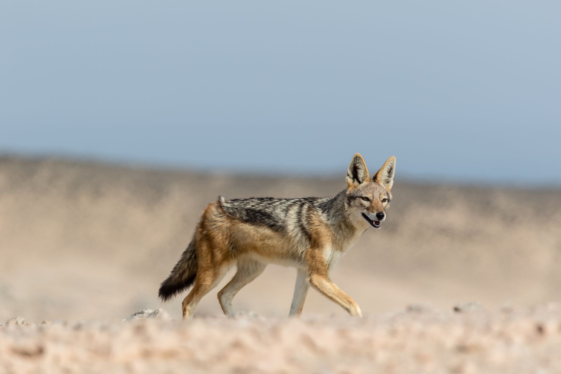
But look closer and this coast is full of life. Cape fur seals haul out on the rocks in colonies that grow larger the further north you drive. Cormorants and terns line the shore. Black-backed jackals work the tideline at low tide, quick and purposeful.

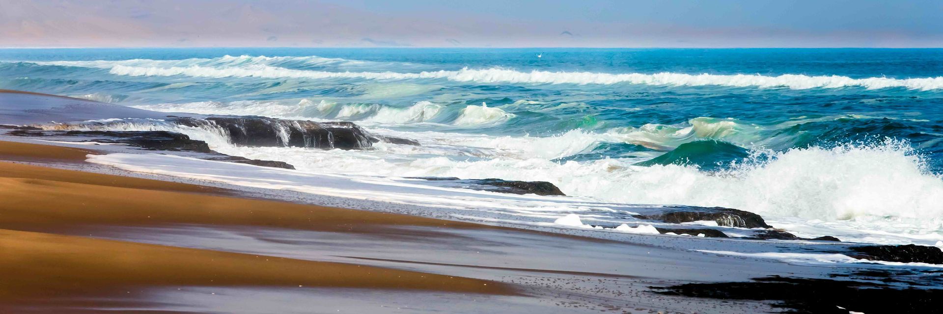
The desert creeps right up to the ocean here, gravel fading to sand fading to surf, and the colours shift constantly: ochre, salt-white, pale grey, the cold green of the Atlantic. It is not a landscape that announces itself. It earns you slowly, and that turns out to be enough.
In a Nutshell

  • The Skeleton Coast stretches roughly 500 km along Namibia's Atlantic shore, where the Namib Desert meets the ocean. Fog, whale bones, seal colonies, and desert-adapted wildlife define the landscape.

  • The national park is split in two: the southern section is accessible by self-drive from Swakopmund; the northern section is fly-in only and far more remote.

  • Key wildlife includes desert-adapted elephants and lions, brown hyenas, and a Cape fur seal colony of over 100,000 at Cape Cross.

  • Best visited May to October for wildlife; November to December for seal pupping season. The fog rolls in year-round.

Why Is the Skeleton Coast Dangerous?

The name is not a marketing invention. This stretch of Namibia's Atlantic coastline, running roughly 500 kilometres from the Kunene River in the north to the Ugab River in the south, earned its reputation through centuries of shipwrecks, failed rescues, and sailors who made it to shore only to find themselves stranded in one of the driest deserts on Earth.

The Benguela Current is the primary culprit. This cold current sweeps north from Antarctica along Namibia's coast, pulling frigid, nutrient-rich water into contact with the warm desert air. The result is fog. Dense, persistent fog that rolls inland every morning and can reduce visibility to near zero. For centuries, that fog, combined with rocky outcrops, unpredictable swells, and a coastline with almost no natural harbours, turned these waters into a graveyard for ships.

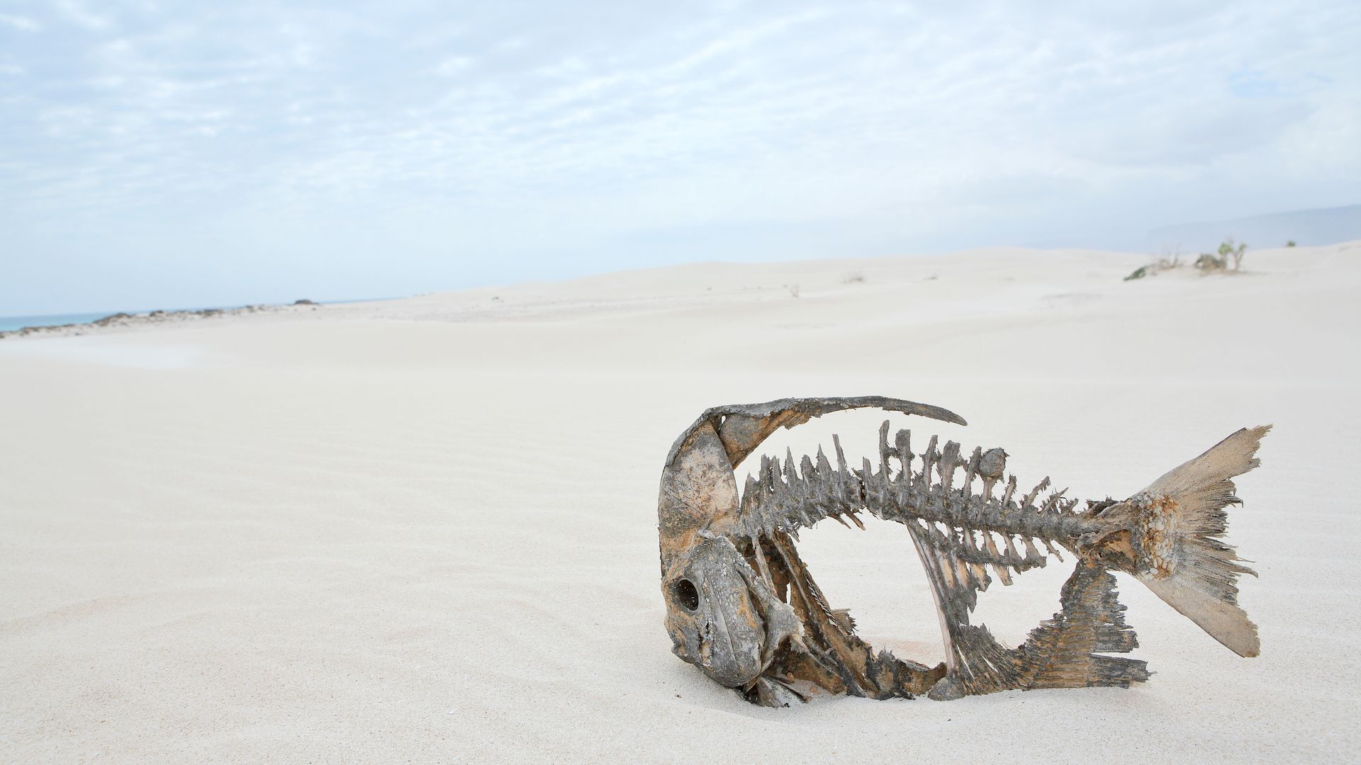
Survivors who reached the beach faced a second problem. The Namib Desert begins immediately at the shoreline. No fresh water, no vegetation to speak of, no settlements for hundreds of kilometres in any direction. Sailors who washed ashore had nowhere to walk to. The name itself was coined in 1933 by Namibian journalist Sam Davies, reporting on the disappearance of Swiss pilot Karl Nauer, who vanished on a flight from Cape Town to London after refuelling at Walvis Bay. Davies wrote that Nauer's bones might one day be found on the Skeleton Coast. The whale bones and ship timbers that already littered the beach made the name stick.

That said, people have lived here far longer than the shipwreck stories suggest. Stone circles, shell middens, and pottery fragments are scattered along the northern coast, evidence of human activity stretching back at least 2,000 years and likely much further. The coastal dwellers, belonging to the Khoekhoen language group, are known as Strandlopers ("beach walkers") and their stone circles in the Uniab Delta are still accessible to visitors on a short unguided walk. These circles were the foundations for domed huts built from driftwood and whale bones, and for hunting blinds. The coast was never truly empty. It was just very difficult.

Worth saying that the coast is not dangerous to modern visitors. The shipwrecks are historical. The fog is atmospheric. And the desert, seen from a lodge deck or a chartered flight, is one of the most extraordinary landscapes in southern Africa. The danger is in the history, not the itinerary.

Skeleton Coast Shipwrecks

Around 330 shipwrecks are documented along the Namibian coast, with roughly 60% of them north of Walvis Bay. Another 160 or so are estimated to have been lost without definitive records. Documented wrecks along the Skeleton Coast Park date back to Portuguese sailing ships over 300 years ago, and the coast continues to claim new victims: the Japanese fishing vessel Fukuseki Maru ran onto rocks just south of the Ugab river mouth in 2018.

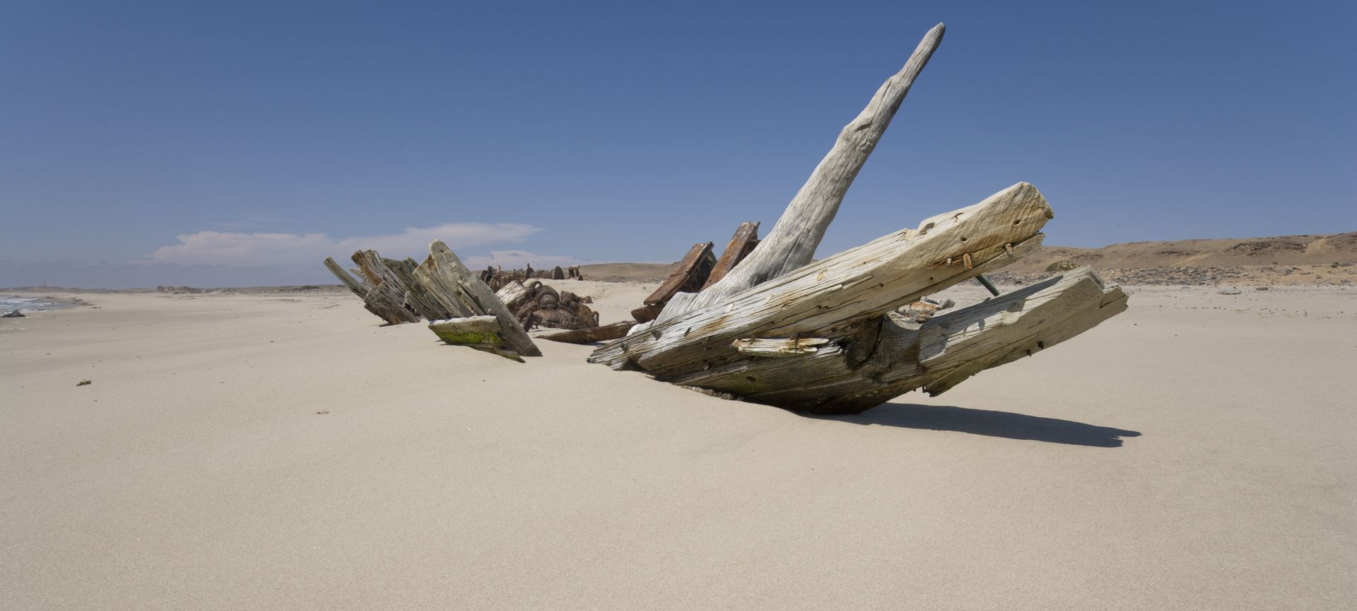
But the coast reclaims things. Most wrecks disappear within a century, broken apart by surf, salt, and sand until only a few pieces of rusted metal or worn wood remain. There are shipwrecks in various states of deterioration inside the park, though none of the photogenic, intact hulls that the name conjures up. The wrecks tourists photograph most often are south of the park boundary.

The Zeila, a fishing vessel that ran aground between Swakopmund and Henties Bay in 2008, is the most accessible and the most photographed. It sits just off the beach, close to the road, cormorants perched along its rusted rails, the hull dissolving into the mist on a foggy morning. It looks centuries old rather than less than two decades.

Further south still, the Eduard Bohlen is the wreck that defines this coastline in photographs. This German cargo ship ran aground in 1909 and now sits roughly 400 metres inland from the waterline, swallowed by the desert between Walvis Bay and Lüderitz. The ship can be seen from the air, or on a guided 4x4 trip through the desert. Seeing it, a ship marooned in a sea of sand, is the image that sells the Skeleton Coast to the world, though it sits well south of the actual park itself.

The Dunedin Star has the grimmer story, and it happened inside the park. In 1942, this 530-foot British vessel was on its way from Liverpool to Cape Town with war supplies and 106 people aboard when it ran aground north of Cape Fria. Passengers and half the crew were brought ashore by motor launch, but the small boat capsized in rough water, stranding two groups in different locations. The rescue vessel Charles Elliot, sent to help, ran aground itself near Rocky Point with the loss of two lives. A Ventura bomber landed safely near the castaways but got bogged in soft sand. Provisions were airdropped and floated to shore. An overland rescue party finally reached the survivors after 13 days. The later attempt to retrieve the stranded Ventura ended with the plane crash-landing in the surf after engine failure; all three men survived and walked 50 kilometres to Hoarusib Spring. Today, little remains of any of it. A propeller in the sand, scattered parts. The coast has done what it does.

Most visitors to the southern coast base themselves in Swakopmund, the adventure capital or in Walvis Bay and drive north, stopping at the Zeila on the way to the national park gate.

Skeleton Coast National Park: What to Know

The Skeleton Coast National Park covers 16,820 square kilometres of coastline and hinterland, a narrow band roughly 40 kilometres deep between the Ugab and Kunene Rivers. Since 2018, it forms part of the larger Iona Skeleton Coast Trans-Frontier Conservation Area with Angola's Iona National Park to the north. To the south, Dorob National Park picks up where the Skeleton Coast Park ends. The park is divided into two distinct sections with very different access rules.

The southern section runs from the Ugabmund Gate (at the mouth of the Ugab River) to Terrace Bay. There is also an eastern entry at Springbokwasser Gate, accessible via the C39. Transit permits allow travel between the two gates; overnight permits are required for stays at Terrace Bay. Permits are purchased at the gate. The road is gravel and salt, well-maintained enough for a standard 2WD in dry conditions but better suited to a 4x4 for comfort. Fuel is available at Terrace Bay all year, but nowhere between the gates and the rest camp. We recommend filling up before entering the park; running out of fuel in this landscape is not the kind of adventure anyone wants.

The drive through the southern section is stark and slow. Gravel plains stretch to the east, the Atlantic sits grey and cold to the west, and the fog thins and thickens in cycles. There are designated picnic spots but limited facilities. The reward is the emptiness itself.

The northern section is from Terrace Bay to the Kunene River. Access is restricted to guests of concession lodges (primarily Hoanib Skeleton Coast Camp and Skeleton Coast Safaris) and permitted guided tours. This is where the coast becomes properly remote: no roads, no other travellers.

The split between Skeleton Coast South (self-drive, accessible, dramatic) and Skeleton Coast North (exclusive, wild) means this coast is two trips in one. We recommend both, at different times, for different reasons.

Practical notes:

  • Gate entry hours: 7:30am to 3:00pm for transit permits; 7:30am to 5:00pm for overnight stays. Exit before 7:00pm.

  • Permits: Four types — transit (between Ugabmund and Springbokwasser), Terrace Bay (overnight, all year), Torra Bay (overnight, December and January only), and concession (guided, by arrangement). Available at the gate.

  • Northern access: Arranged through lodge bookings only. No independent permits available.

Wildlife on the Skeleton Coast

This is not the place for Big Five game drives. This is a different kind of wildlife destination altogether, and the animals that live here have earned their place through adaptation, not abundance.

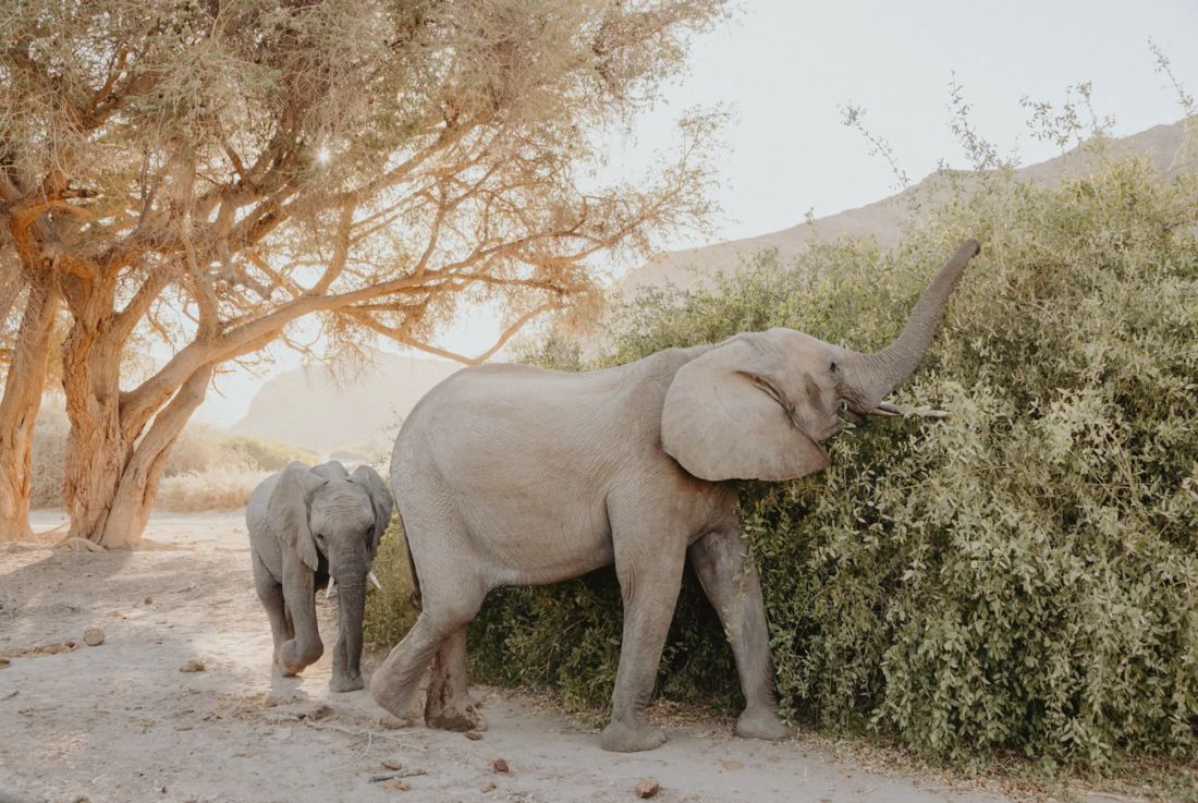
Desert-adapted elephants are the headline act, particularly along the Hoanib River and its tributaries. These elephants (the same species as African bush elephants, but behaviourally and physically adapted to arid conditions) have longer legs relative to their body size, larger feet for walking on sand, and are apparently slightly smaller than their cousins. They navigate dry riverbeds and gravel plains, moving between water sources that can be many kilometres apart. A small herd crossing the Hoanib floodplain late in the afternoon, the calves tucked between adults, their footsteps silent on the sand, is the kind of sighting that resets your idea of what a safari can be. For all the fog and the reputation, this is what this coast does best: wildlife that has learned to survive where survival seems improbable.

These elephants are here because of community conservation. The Torra and Anabeb conservancies [VERIFY] manage the land along the Hoanib River corridor, and their anti-poaching patrols and community-based natural resource management have allowed elephant numbers to stabilise after decades of decline. Damaraland's desert-adapted wildlife and this stretch of coast share the same conservation story, and many itineraries combine the two regions for exactly this reason.

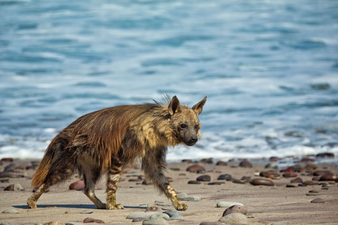
Brown hyenas are the coast's most elusive resident. Namibia holds the largest population of brown hyenas in the world [VERIFY], and the coast is their stronghold. They patrol the tideline at dawn, scavenging seal carcasses and whatever the ocean delivers. Seeing one is rare and requires patience (or luck). The brown hyena is smaller and shaggier than the spotted hyena, with a distinctive dark brown coat and lighter mane around the neck and shoulders. They are solitary and nocturnal, which is exactly why a sighting feels like a reward rather than a guarantee.

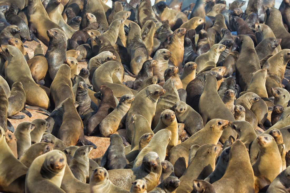
Cape fur seals are the opposite: loud, social, and present in overwhelming numbers. The colony at Cape Cross, south of the national park, near the coast road between Swakopmund and the Ugabmund Gate, numbers over 100,000 animals [VERIFY]. The noise is constant, a wall of barking and grunting that carries on the wind. The smell, in warmer months, is strong enough to taste. Cape Cross is not subtle. But seeing that many animals in one place, the pups scrambling over each other, the bulls defending patches of rock, the whole colony rippling with movement, is a sensory overload in the best possible way.

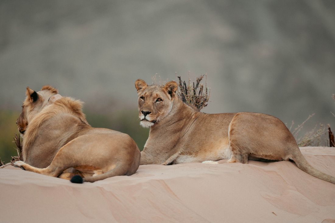
Desert-adapted lions live in the far north and into Kaokoland. These lions disappeared from the Skeleton Coast entirely and have returned in recent years, a fragile triumph for Namibian conservation. Their tracks have been found in the Uniab Delta, skirting high cliffs above the beach. The prides, studied extensively by Dr. Philip "Flip" Stander's research project [VERIFY], hunt gemsbok, springbok, and occasionally seals along the coast. Lions may roam the park — visitors are advised to inquire about lion movements and take care. Sightings are not common and usually require multi-day fly-in safaris with guides who know the prides' territories.

The smaller wildlife fills in the rest: black-backed jackals trot along the beach at low tide, gemsbok stand motionless on the gravel plains as if posing for the Namibian coat of arms (which, to be fair, they are), and Namaqua chameleons hunt beetles in the sand, changing colour with a deliberation that feels personal.

Stay inspired

Safari stories in your inbox

Expert guides, lodge reviews, and trip inspiration. Delivered every two weeks.

No spam. Unsubscribe anytime.

Where to Stay: Skeleton Coast Camps & Lodges

Accommodation here splits along the same line as access: fly-in lodges in the northern section, and NWR rest camps in the south. The options are few, which is part of the point.

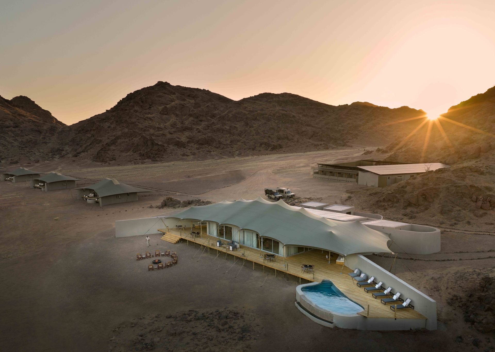
Hoanib Skeleton Coast Camp is the name most travellers will encounter first, and for good reason. Operated by Natural Selection (formerly a Wilderness Safaris property) [VERIFY], this camp sits in the Hoanib River floodplain in a private concession within the northern coast. It has seven [VERIFY] canvas-and-wood rooms, each with views across the dry riverbed where desert-adapted elephants, giraffe, and springbok move through daily. The guiding is the draw. Drives follow the Hoanib from its floodplain to the coast, tracking elephants through riverbeds and brown hyenas along the tideline. The camp's research partnership with the Giraffe Conservation Foundation [VERIFY] means guests contribute to ongoing conservation monitoring simply by being there.

The camp is fly-in only, typically accessed from Windhoek or Sossusvlei as part of a multi-stop Namibian itinerary. Explore this camp on a Luxury Fly-in Safari.

We recommend at least two nights. One night is too short; the desert reveals itself slowly, and the first afternoon is still adjustment. By the second morning, the landscape begins to make sense.

Shipwreck Lodge sits in the northern section, north of Möwe Bay and west of Sesfontein, and it looks exactly like its name suggests. The rooms are designed to resemble shipwrecks, angled into the dunes with weathered wood exteriors and porthole windows. It is a design statement first and a lodge second. The activities centre on guided drives through the dune belt, nature walks, and scenic flights along the coast. Like Hoanib Skeleton Coast Camp, this is fly-in territory [VERIFY].

Terrace Bay is the NWR (Namibia Wildlife Resorts) rest camp within the national park [VERIFY]. It is functional rather than atmospheric: simple rooms, a restaurant, fuel pumps, and proximity to some of the best shore fishing in Namibia. Open all year for overnight stays (no day visits), it is the only permanent facility in the park and the base for most self-drive visitors. Birders and anglers will find more to love here than luxury travellers, and that is not a criticism. Terrace Bay is the coast without the price tag.

Torra Bay is the second NWR rest camp, further south along the coast, and it opens only in December and January. It is even more basic than Terrace Bay: a campsite and angling area rather than a lodge. Fuel is available during those two months only. If your trip falls in the southern summer and surf fishing is the draw, Torra Bay puts you right on the water. Outside those months, it is closed entirely.

Explore Skeleton Coast trips for a full list of properties and sample itineraries.

How to Visit the Skeleton Coast

There are two ways to get here, and they deliver very different trips.

Fly-in safaris are the route to the northern coast. Charter flights (typically light aircraft, 5-12 seats) depart from Windhoek's Eros Airport or from Sossusvlei/Sesriem airstrips and land on remote gravel strips in the concession areas. The flight itself is part of the encounter: watching Namibia unfold below, from the central plateau to the escarpment to the coastal gravel plains, is the kind of aerial perspective that rearranges how you think about distance. Fly-in safaris typically include Hoanib Skeleton Coast Camp or Skeleton Coast Safaris' mobile camping operation [VERIFY] as part of multi-destination itineraries that combine with Sossusvlei, Etosha, or Damaraland.

Viatu Insider Tip: The northern coast is fly-in only, and that restriction is exactly what protects it. The concession areas see a handful of guests at a time, and the wildlife behaves as if humans are a minor curiosity rather than a threat. If the budget allows, this is the version we recommend.

Self-drive is the route to the southern coast and the most popular way to visit. Most self-drive itineraries follow the coast road north from Swakopmund or Walvis Bay, passing the Zeila wreck south of Henties Bay, the Cape Cross seal colony, and entering the national park at the Ugabmund Gate. The drive from Swakopmund to Terrace Bay takes roughly five to six hours [VERIFY], depending on stops, and the road is gravel throughout. A sedan can manage it, but a 4x4 is more comfortable and gives better clearance on the rougher sections north of the gate.

Combining the Skeleton Coast with other regions is how most visitors plan their trip. The most natural pairings are:

  • Skeleton Coast + Damaraland: The Hoanib River corridor connects the two regions, and many fly-in itineraries include both. Desert-adapted elephants, ancient rock engravings at Twyfelfontein [VERIFY], and a landscape that shifts from coastal fog to inland desert within an hour's flight.

  • Skeleton Coast + Kaokoland: For travellers heading to the remote northwest, this coast is the natural western anchor. Kaokoland adds Himba communities, the Kunene River, and some of the most untouched terrain in southern Africa.

  • Skeleton Coast + Sossusvlei + Etosha: The classic Namibian triangle. Most 10-14 day fly-in itineraries connect all three, with the coast as the wildcard that visitors don't expect to love as much as they do.

Best of all, most Namibian itineraries are flexible enough to slot a Skeleton Coast stop in without backtracking. The fly-in network means a two-night addition to an existing trip is straightforward, and the self-drive route fits naturally into a coastal loop from Windhoek.

Best Time to Visit the Skeleton Coast

This is a year-round destination, but the seasons change what you see and how you see it.

May to October (Namibia's dry season, winter) is the peak period for wildlife viewing. Desert-adapted elephants concentrate around permanent water sources in the Hoanib and Hoarusib riverbeds [VERIFY], and the drier conditions push animals into more predictable patterns. Morning temperatures along the coast hover around 10-15°C [VERIFY], with fog that can linger until late morning before the interior heats up. We recommend packing layers: the coast is cold, the inland is warm, and the transition happens within an hour's drive.

November and December bring warmer temperatures and the start of the seal pupping season at Cape Cross. Thousands of Cape fur seal pups are born between late November and early December [VERIFY], and the colony becomes a chaotic nursery of newborns, protective mothers, and opportunistic jackals. The smell is intense. The noise is louder. And the whole scene is raw and alive in a way that the dry-season coast is not. If seals are a priority, this is the window.

January to April is warmer, greener (relatively speaking; this is still the Namib), and quieter in terms of tourism. Some lodges in the north close or reduce operations during the hottest months [VERIFY]. The fog persists year-round, but inland temperatures can reach 35°C and above in the river valleys during January and February.

The fog deserves its own mention. It is this coast's defining atmospheric feature, present on roughly 180 days per year [VERIFY], and it is densest in the early morning. The fog feeds the desert ecosystem: beetles, lichens, and plants along the coast survive by harvesting moisture directly from the fog rather than from rainfall, which averages less than 15mm per year [VERIFY]. The Namib Desert's fog-basking beetles, which stand head-down on dune ridges to collect water droplets on their shells, are one of those details that sounds invented but is, in fact, how biology works here.

  • Best
  • Good
  • Acceptable
  • January

  • February

  • March

  • April

  • May

  • June

  • July

  • August

  • September

  • October

  • November

  • December

Plan Your Skeleton Coast Trip

This is not a place that rewards rushing. Whether it is two nights at a fly-in camp in the north or a self-drive day along the southern coast road, this is a landscape that asks for patience and returns it with something harder to find elsewhere: real silence, deep time, and wildlife that has adapted to the edge of what is survivable.

The fog will come in. The seals will bark. And the desert, if given a second morning, will show you something the first morning hid.

Bárbara Büchel
Bárbara Büchel
Chief Sustainability Officer
"Treading lightly. Exploring deeply"

Interested in the Skeleton Coast?

Design your dream trip

Tell us where you want to go, how long you have, and what matters most. We'll design a Namibian itinerary around you.

1
Your trip
2
Your details
$1,500
$500
$1.5k
$2.5k
$3.5k
$5k
7 days
3d
7d
10d
14d
21d
Estimated total
Excl. international flights
$21,000

You're all set!

Your compass is pointing in the right direction. A specialist will be in touch within 24 hours.

Ref:

A confirmation email has been sent to your inbox.